Nasty Rock…but not Not Nasty Rock

I’ve continued to volunteer with Trailkeepers of Oregon just about every weekend for a couple months. This weekend was no different, as I joined a trail party in the Table Rock Wilderness on Saturday. But with the long holiday weekend, I decided to hike an obscure trail at the headwaters of the Molalla River south of Table Rock, bordering the Opal Creek Wilderness.
It’s the unmarked and unmaintained trail to Nasty Rock (and Not Nasty Rock…more on that in a minute).
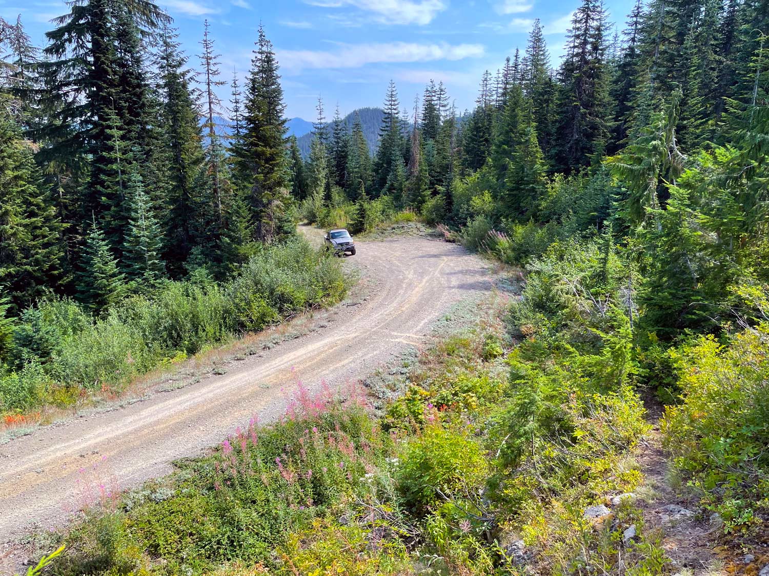
I actually visited the “trailhead” for this hike back in June but encountered deep snow and otherwise deemed the hike too exposed to attempt while tethered to my dog Teddy. This time, Teddy stayed home and I decided to scout this little-used trail.
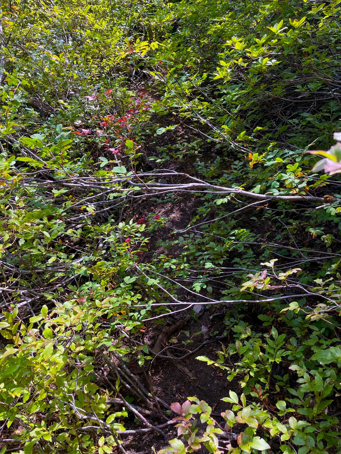
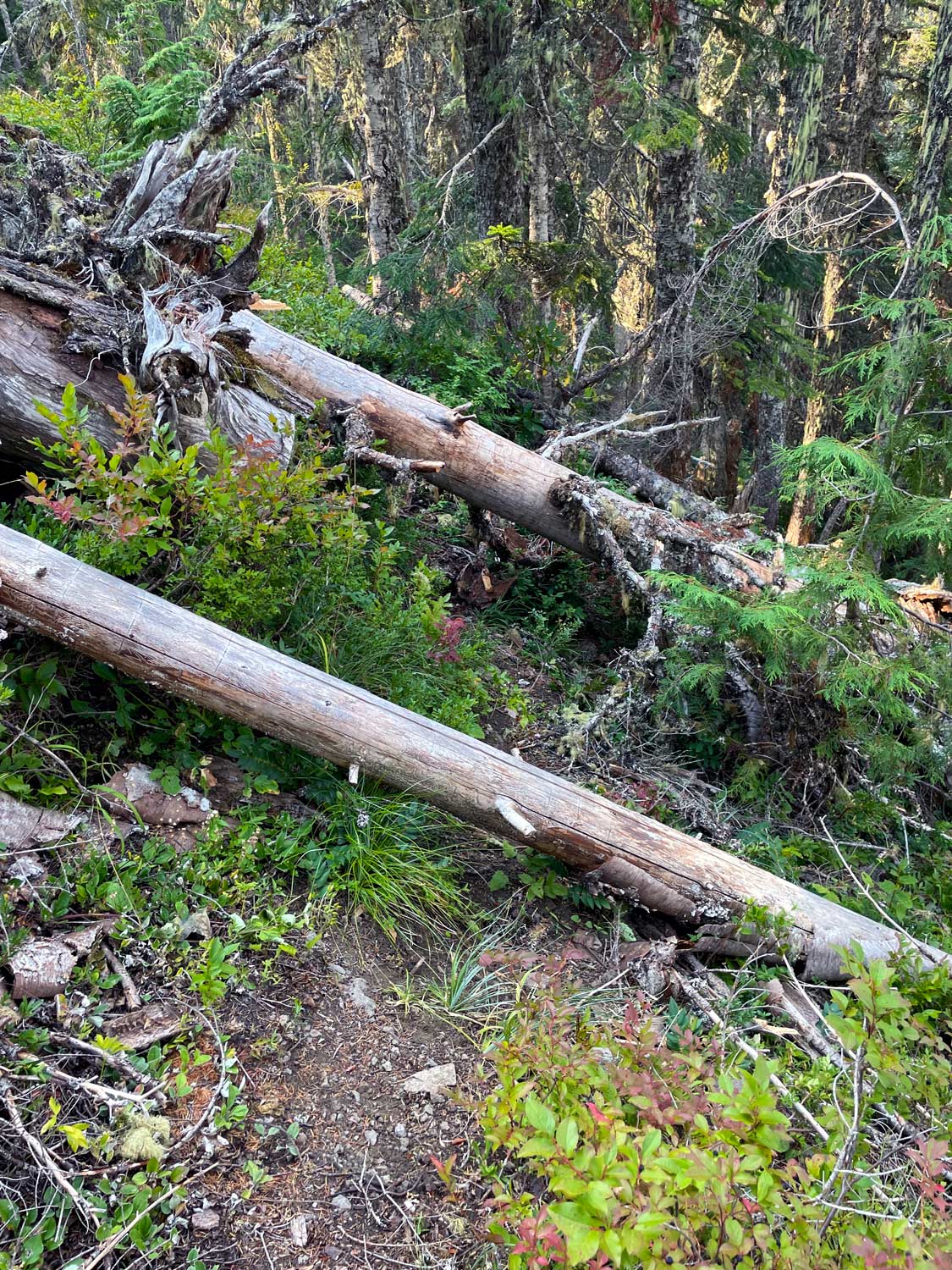
To call this is a “trail” is generous, however. It is overgrown, exposed, difficult to identify at times, and littered with downed trees.
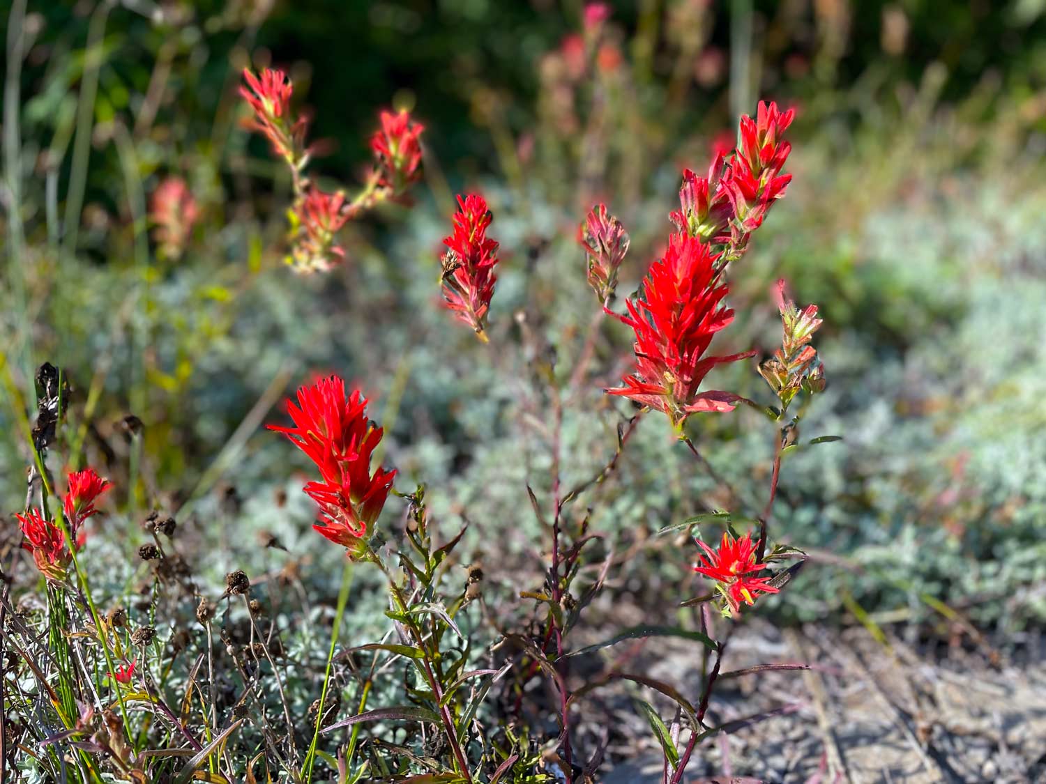
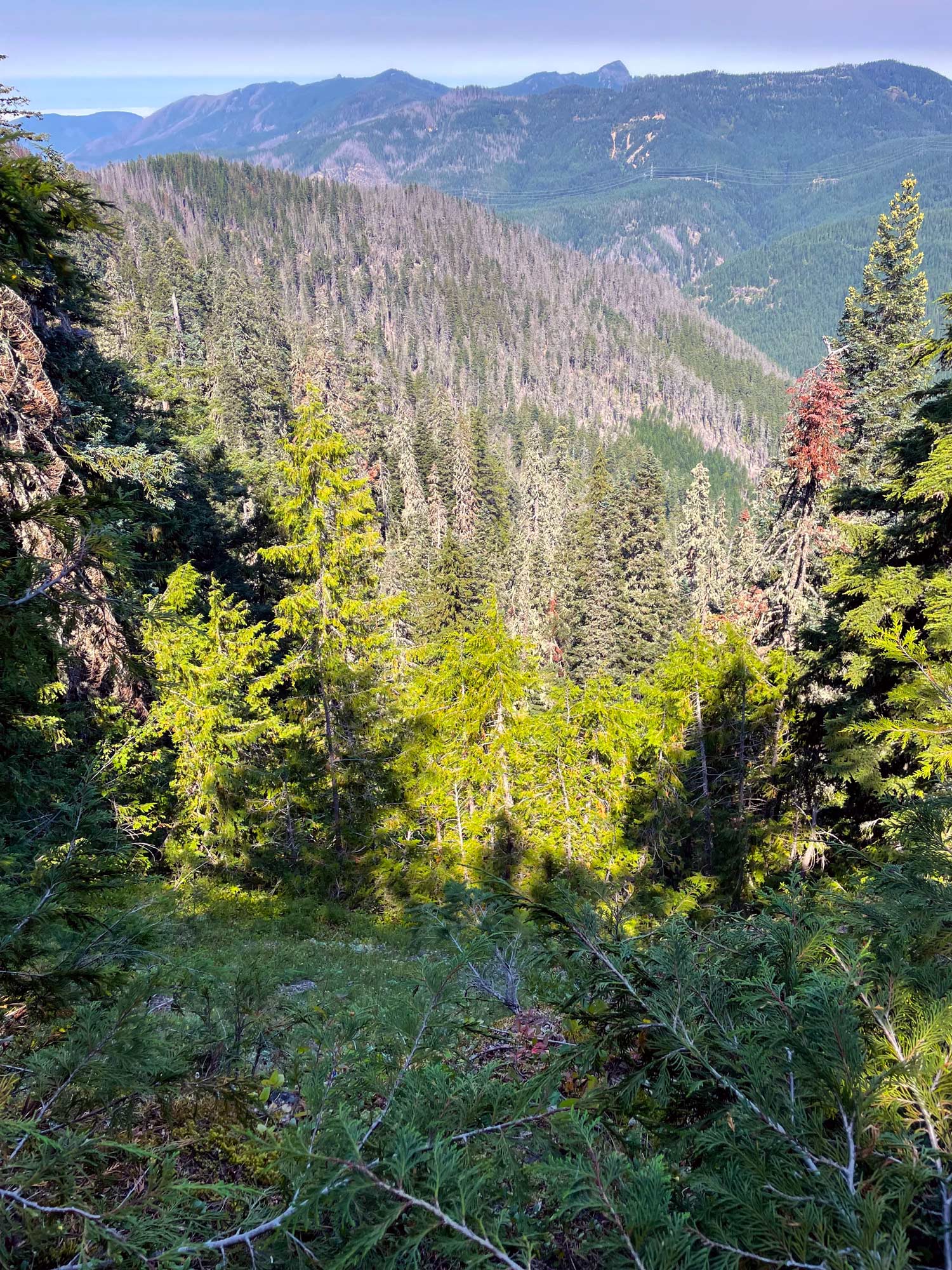
Despite the obstacles and poor footing, it is a scenic, short hike along a ridge that forms both the headwaters of the Molalla River and the northern border of the Opal Creek Wilderness, the latter a magnificently beautiful area that’s unfortunately seen more than its fair share of wildfire in the last several years.

After scrambling to the top of the whimsically named Nasty Rock, I decided to try to push on toward the indifferently, hilariously labeled Not Nasty Rock.
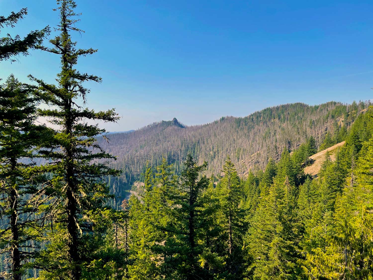
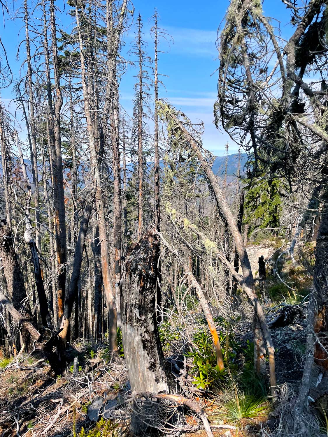
It turns out the trail effectively vanishes between the two rocks, with the intervening ridge heavily impacted by the 2020 Beachie Creek Fire.
Much of this stretch is a continuous scramble, and I slid out at least three times, even while armed with trekking poles. A close inspection of the map displaying the ridge between the two rocks replaces the trail with a line that, when sufficiently zoomed, simply reads (difficult).
True! Given I was alone, I decided to turn back and save Not Nasty for another day.
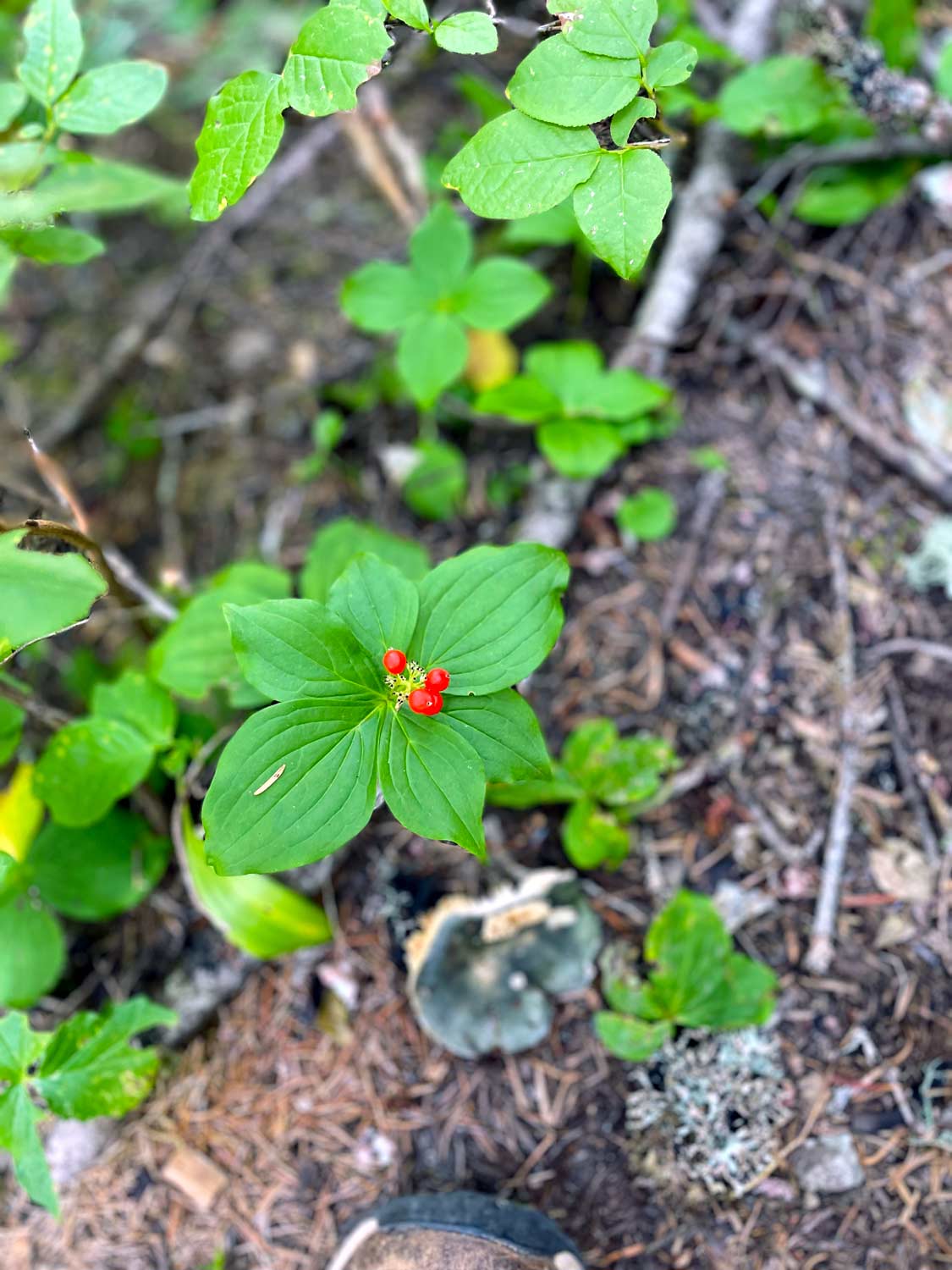
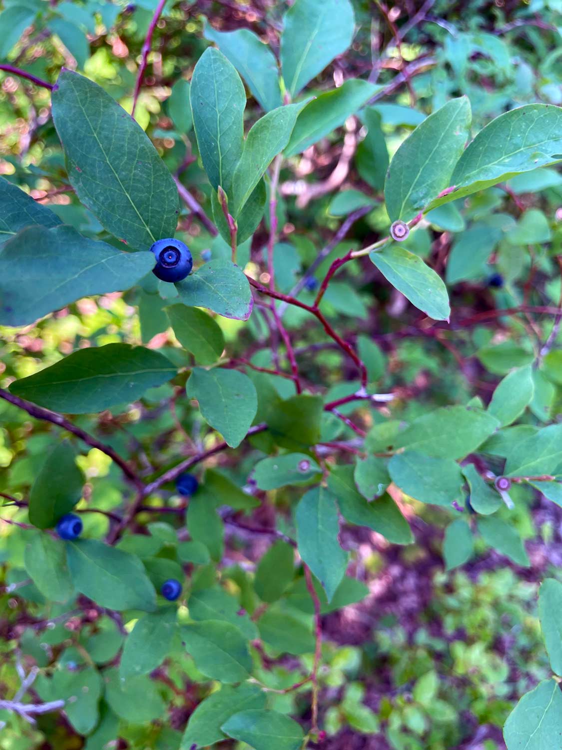
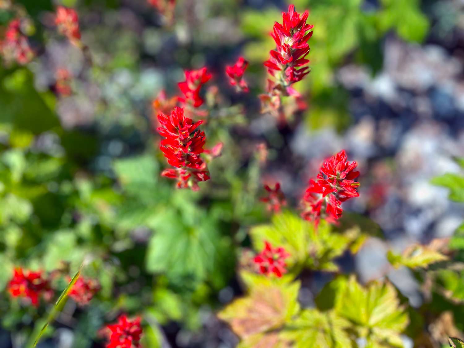
I took it slow on the way back, pausing often to eat wild blueberries and admire some well-earned views on this short, “nasty” hike.