November in Wyoming: North Sayles Creek and Firebox Canyons

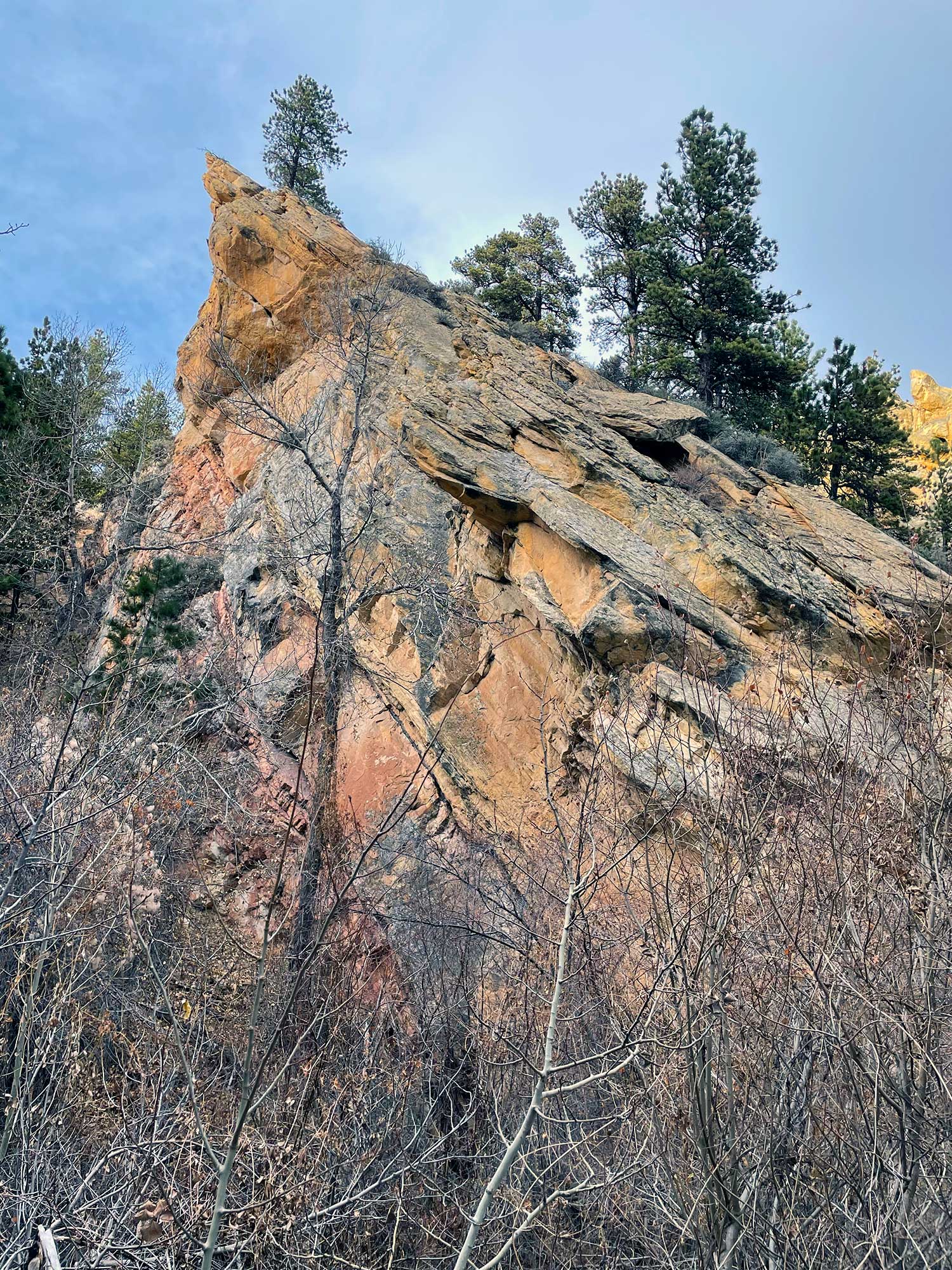
As I continued looking for hikes near my parents’ home, I found another launchpad into the Bighorns in the form of the Bud Love Wildlife Habitat Management Area.
I saw just two pheasant hunters as I drove into the area, parking at a trailhead leading into the Bighorns. On the hike itself, I wouldn’t see a single other person.
After traversing a meadow at the base of the mountains, the trail rises in elevation toward another meadow where the narrow Northfork Sayles Canyon briefly opens.
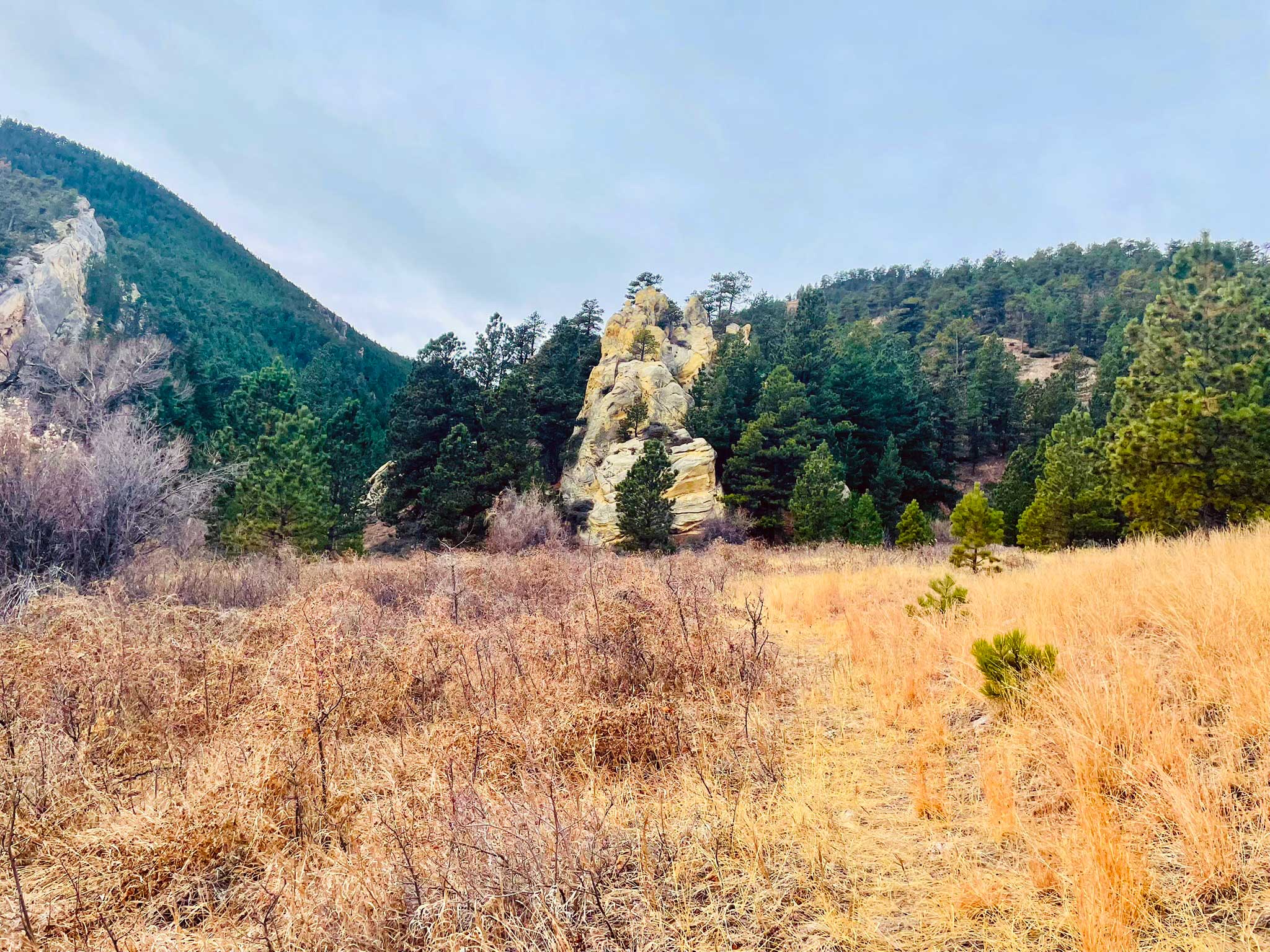
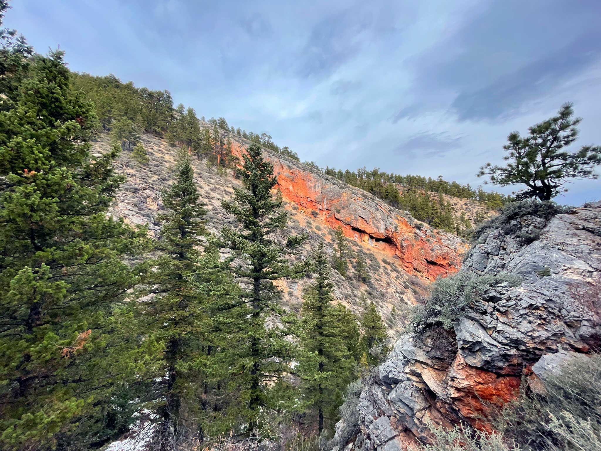
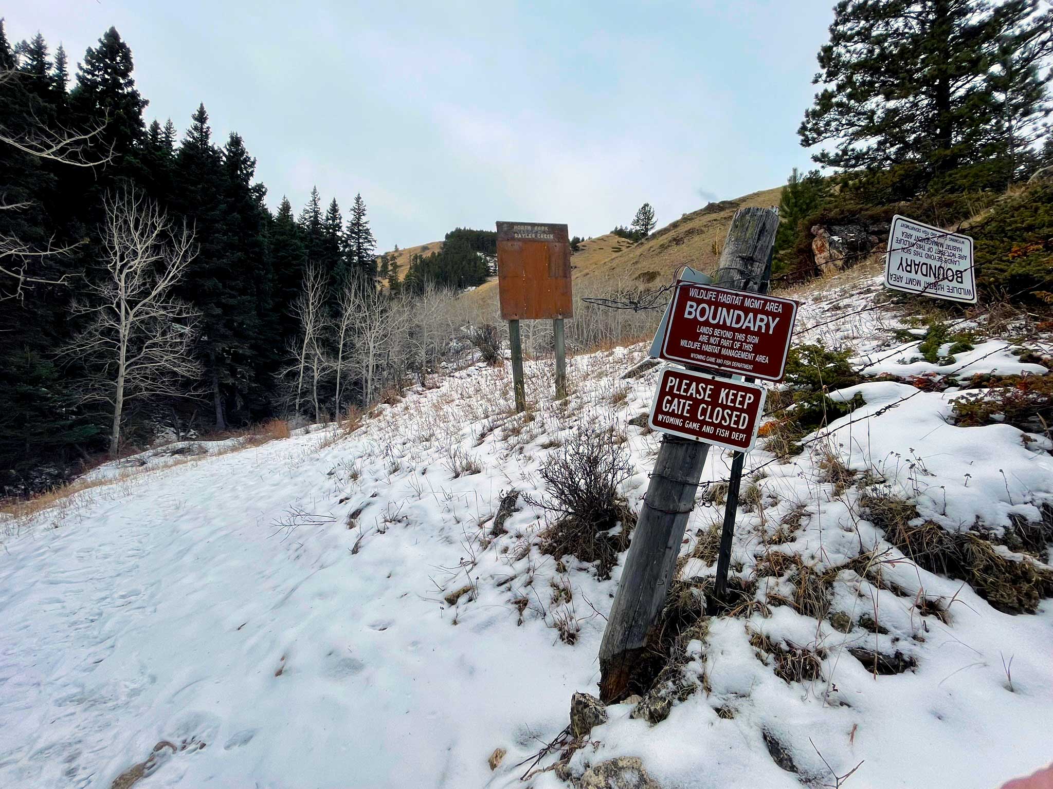
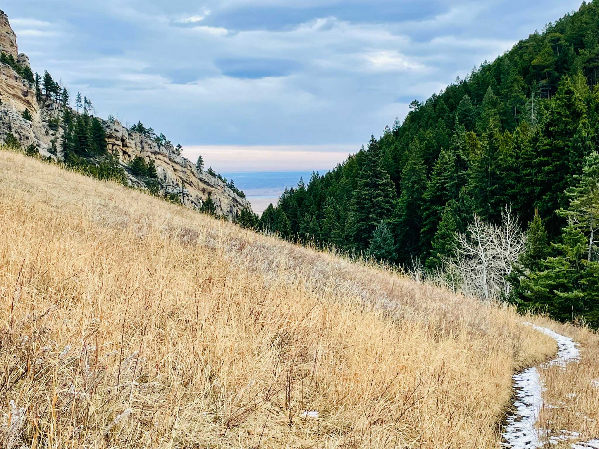
I always prefer a loop hike to an out-and-back if I can manage it, and I did so on this occasion. But it turned out my persistence in that plan was somewhat misguided, as the combination of two sections of downed timber due to wildfire, along with snow and ice and lack of discernible trail made for a longer duration and more difficult hike than I had planned.

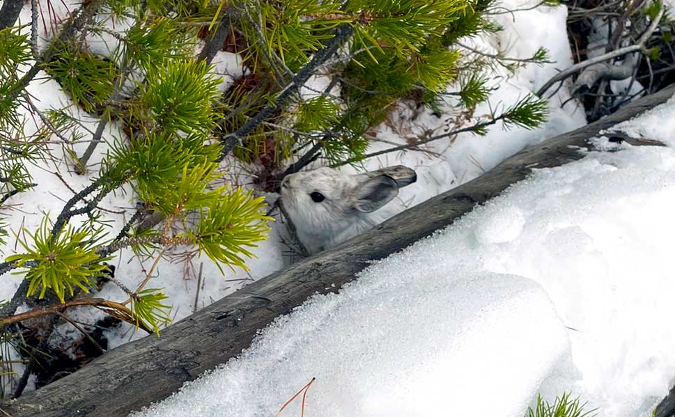
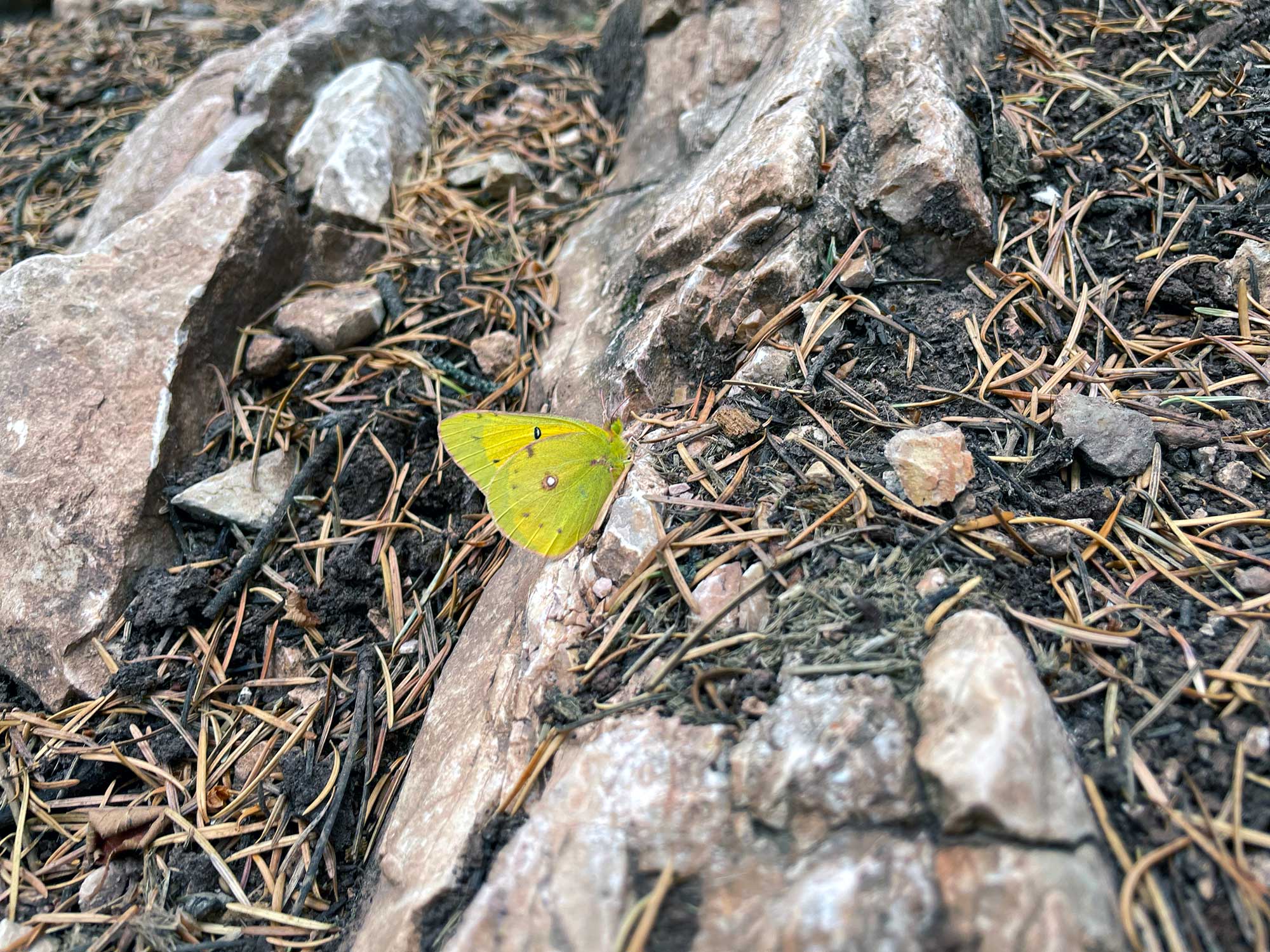
I didn’t see much wildlife, apart from a snowshoe hare, mule deer, squirrels, several species of birds, and — curiously — a green butterfly (clouded sulphur).
I did observe several fresh tracks in the snow, including elk, deer, and cougar, along with the remains of several deer and elk, one skull of which someone had hung from a tree near the trail.
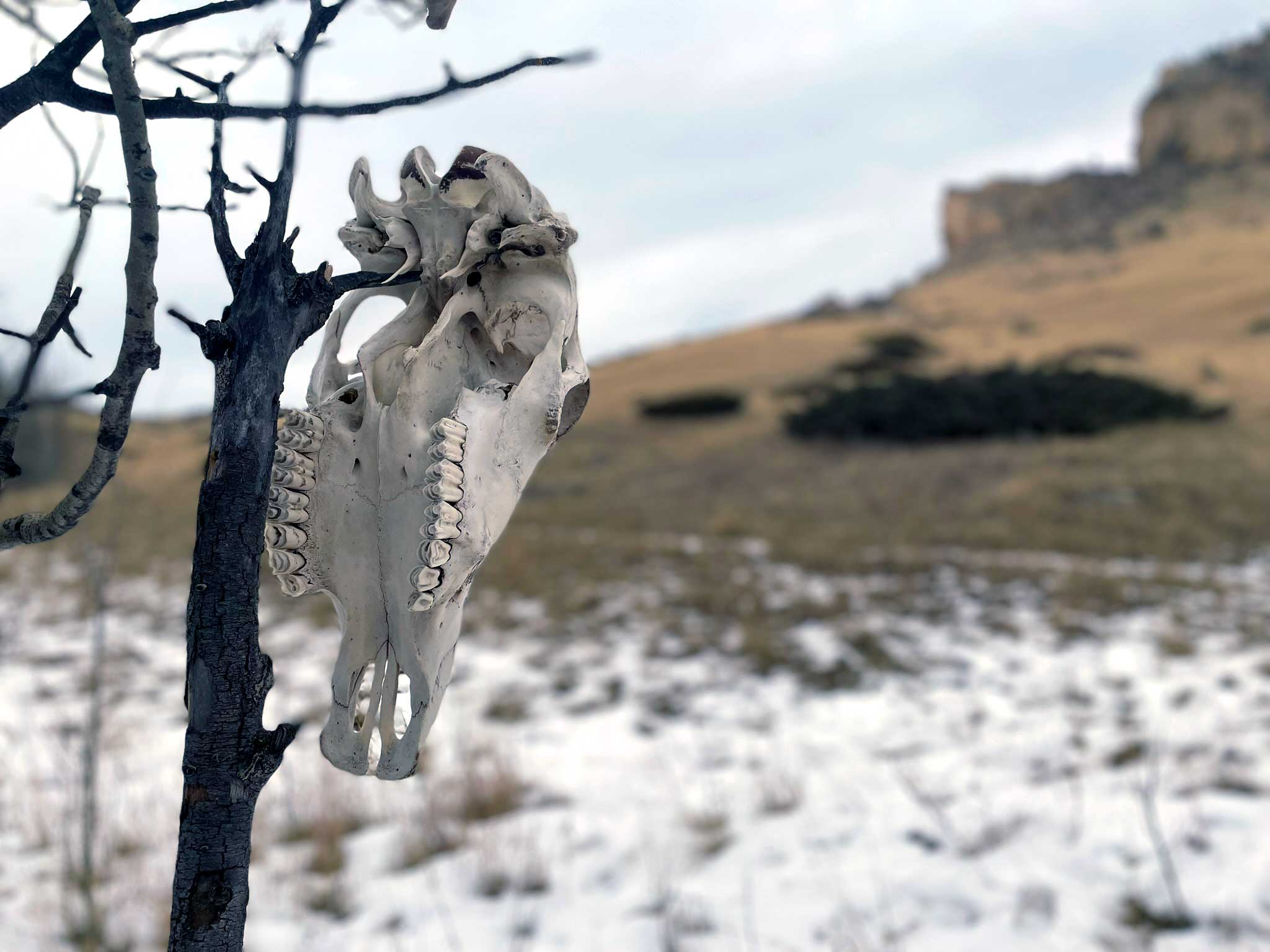
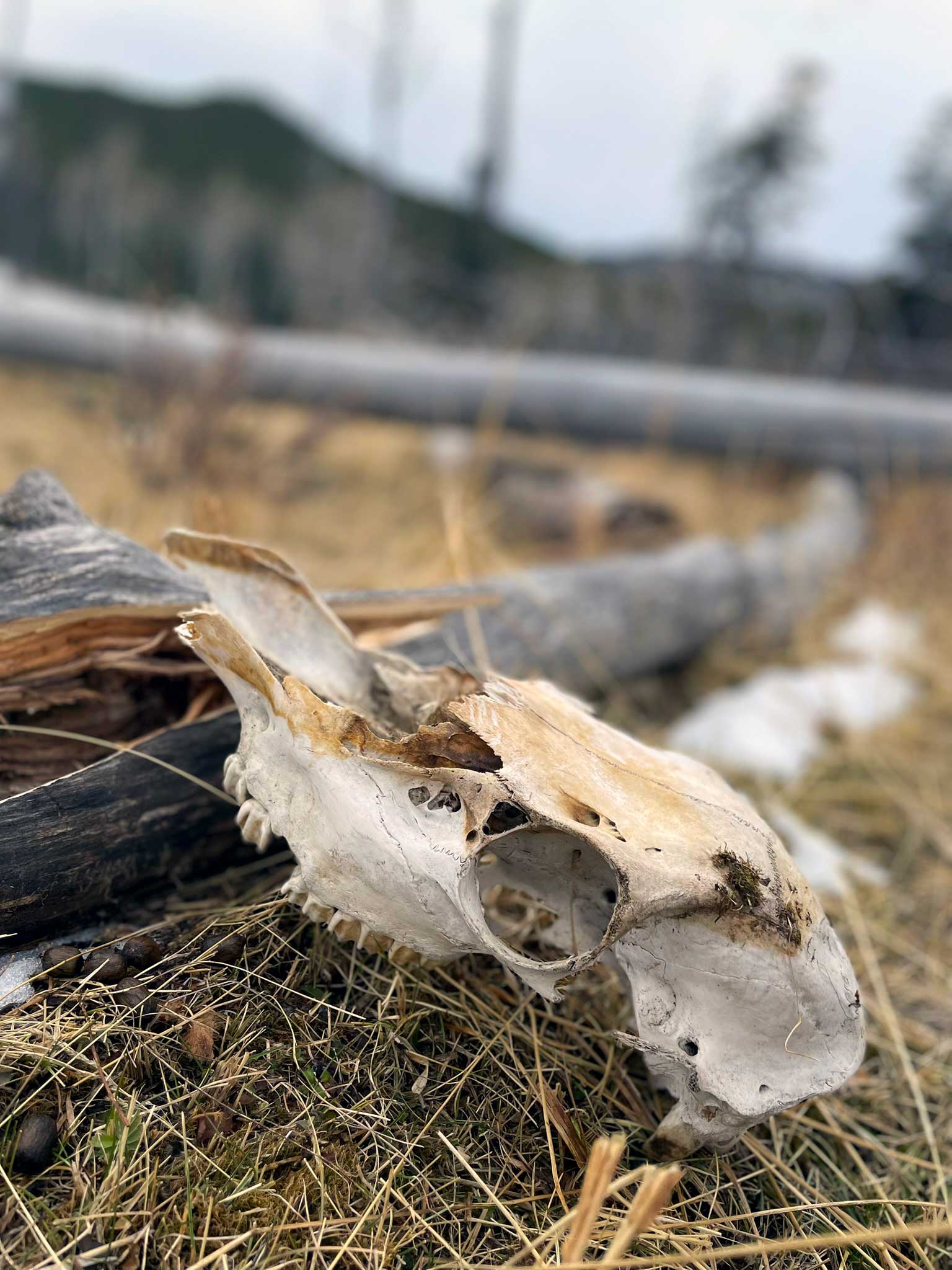

As I returned to the parking area, mine was the only vehicle in sight. I dodged a mule deer heading out of the wildlife area and drove the 15 minutes back to my parents’ house.
I will definitely return to this area of the Bighorns. But I think I’ll skip the blowdown next time.
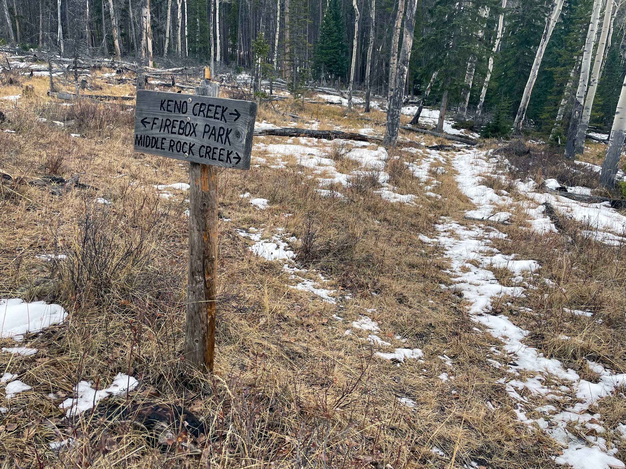
Track
- Distance: 8.12 miles
- Ascent: 2,706 ft
- Max elevation: 7,745 ft